 Photo: Wikimedia contributors · See source
Grimsel, Furka & Susten Passes
Make a two-day high-Alpine circuit through Meiringen, Grimsel, Furka, Andermatt and Susten only when every pass is officially open.
- Allow
- 2 days
- Route
- 304 km
- Drive time
- 4 hr 20 min
- Stops
- 7
Three great passes form one of Switzerland’s most concentrated mountain drives. The Grimsel climbs from the Hasli valley through granite and reservoirs, the Furka crosses a stark high landscape toward Andermatt, and the Susten returns beside glaciers and waterfalls.
This is a seasonal route, never a fixed promise. Snow, rockfall or works can close a pass in any month, and navigation may quietly substitute car trains or long detours. Check the official traffic map on the morning of travel, turn back at closures and postpone the circuit if visibility, fatigue or brakes are in doubt.
The road, in one glance
Pinch or scroll with Ctrl / ⌘ to zoom
Drawing the route…
The route earns
its distance
Each pin is selected as a place to do something—not merely proof that you passed through.
 Photo: Wikimedia contributors · See source
Bern
Depart rested with a flexible booking and a confirmed all-open pass report.
Bern (Swiss Standard German: ), or Berne (French: ), is the de facto capital of Switzerland, referred to as the "federal city". With a population of about 146,000 (as of 2024), Bern is the fifth-most populous city in Switzerland, behind Zurich, Geneva, Basel and Lausanne. The Bern agglomeration, which includes 36 municipalities, had a population of 406,900 in 2014.
 Photo: Wikimedia contributors · See source
Meiringen
The Hasli valley provides fuel, food and the last easy pause before the high road.
Meiringen is a municipality in the Interlaken-Oberhasli administrative district in the canton of Bern in Switzerland. Besides the village of Meiringen, the municipality includes the settlements of Balm, Brünigen, Eisenbolgen, Hausen, Prasti, Sand, Stein, Unterbach, Unterheidon, Wylerli and Zaun. The municipal coat of arms shows a black eagle in a yellow field.
 Photo: Wikimedia contributors · See source
Grimsel Pass
Reservoirs and polished granite frame a dramatic crossing of the watershed.
The Grimsel Pass (German: Grimselpass; French: Col du Grimsel; Italian: Passo del Grimsel) is a mountain pass in Switzerland, crossing the Bernese Alps at an elevation of 2,163 metres (7,096 ft). The pass connects the Haslital, the upper valley of the river Aare, with the upper valley of the Rhône. In so doing, and as the Aare is a tributary of the Rhine, the pass crosses the continental divide between the North Sea and the Mediterranean Sea.
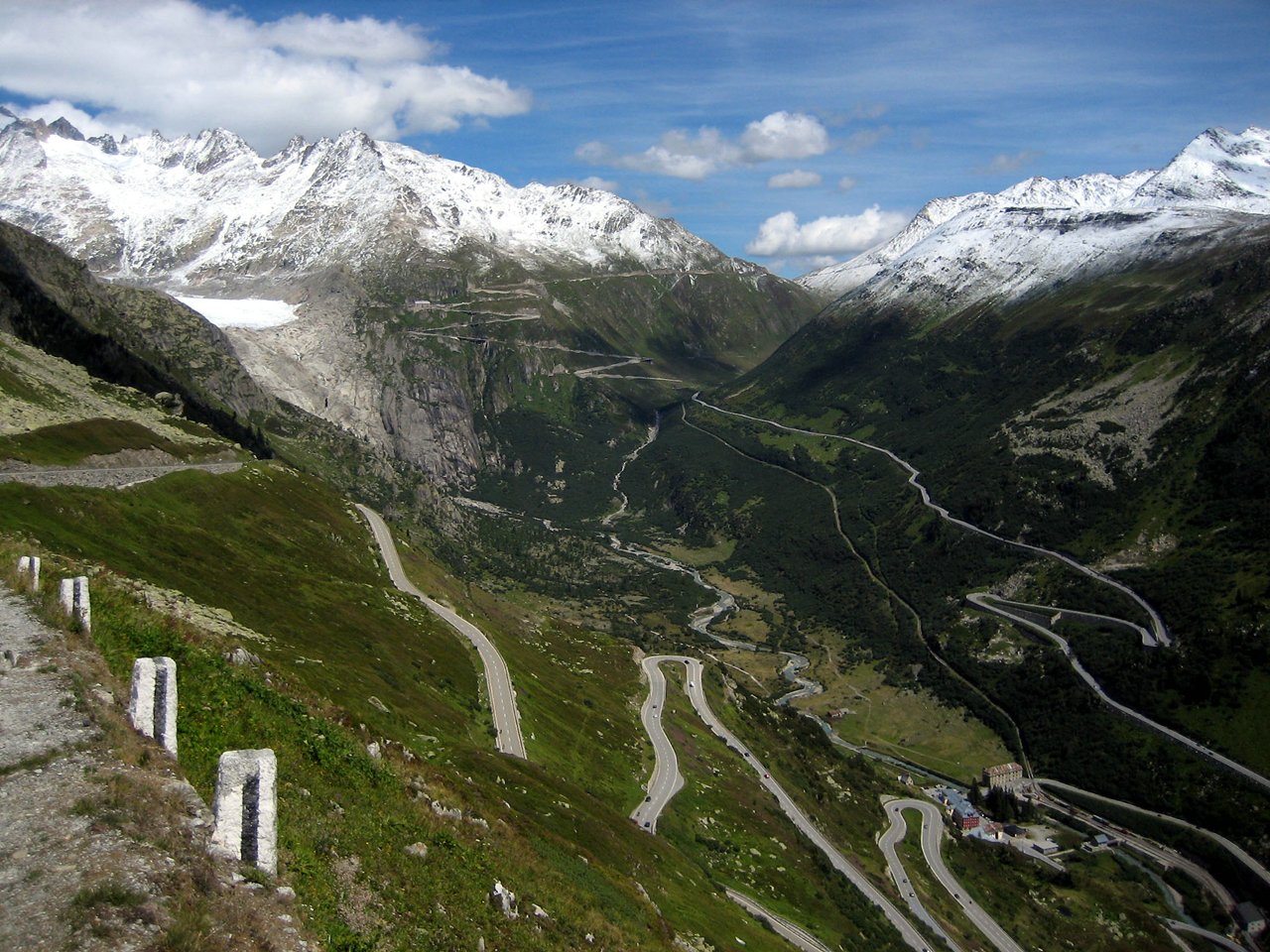
Photo: Wikimedia contributors · See sourceFurka Pass
Tight bends climb into a severe glacier-facing landscape at the circuit’s high point.
Furka Pass (German: Furkapass; French: Col de la Furka) is a 2,429 m (7,969 ft) high mountain pass in the southern Swiss Alps connecting Gletsch, Valais with Realp, Uri via the seasonal Furkapassroute. The Furka Oberalp Bahn bypasses the pass through the 1,390 m (4,560 ft) high Furka Base Tunnel, which opened in 1982 to replace the seasonal Furka Summit Tunnel at 2,160 metres (7,090 ft).
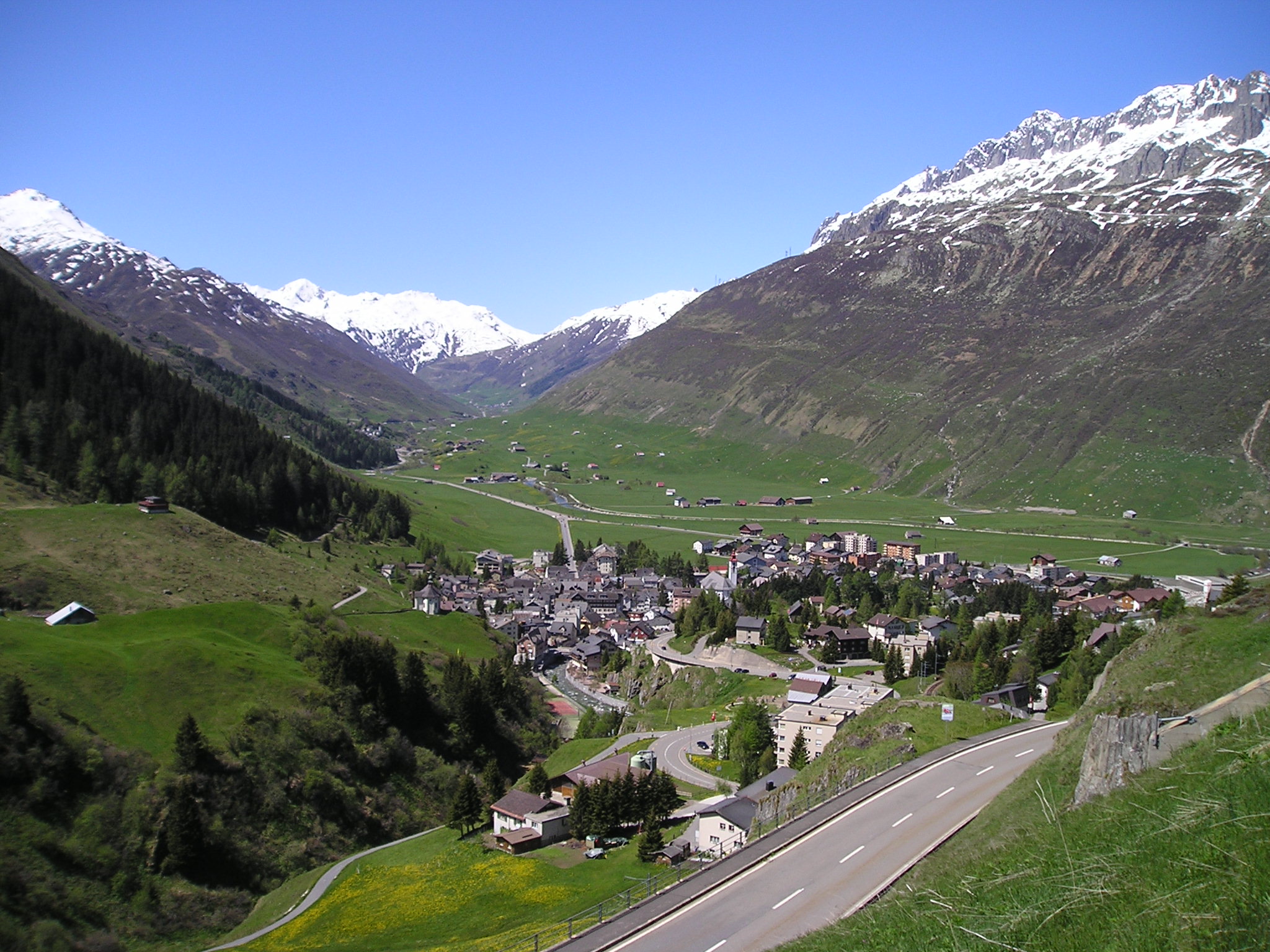 Photo: Wikimedia contributors · See source
Andermatt
A mountain village and rail crossroads make the safe overnight between pass days.
Andermatt (Romansh: ) is a mountain village and municipality in the canton of Uri in Switzerland. At an elevation of 1,437 meters (4,715 ft) above sea level, Andermatt is located at the center of the Saint-Gotthard Massif and the historical center cross of north-south and east-west traverses of Switzerland. It is some 28 km (17 mi) south of Altdorf, the capital of Uri.
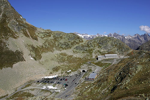 Photo: Wikimedia contributors · See source
Susten Pass
Glacier views and engineered curves carry the return into the Bernese Oberland.
Susten Pass (German: Sustenpass) (el. 2260 m.) is a mountain pass in the Swiss Alps. The pass road, built from 1938–1945, connects Innertkirchen in the canton of Bern with Wassen in the canton of Uri.
 Photo: Wikimedia contributors · See source
Thun
The lake town offers a calm final meal before the short motorway return.
Thun is a town and a municipality in the administrative district of Thun in the canton of Bern in Switzerland. It is located where the Aare flows out of Lake Thun (Thunersee), 30 kilometres (19 miles) southeast of Bern. As of December 2018 the municipality has about 45,000 inhabitants and around 80,000 live in the agglomeration.
Drive the conditions,
not the itinerary.
Drive only when all three passes are officially open. Descend in a low gear, use marked pullouts, yield carefully and abandon the plan in poor visibility or severe weather.
Checked against
the people who run it
Distances and driving times are planning estimates. Conditions, closures, ferries, permits and park rules can change, so check the linked official guidance before setting out.